Ex tropical cyclone Jasper is slowly moving away into The Gulf of Carpentaria, but one weather guru has warned Australians in the Northern Territory and Far North Queensland they are not yet out of the woods, with a chance the system could “reintensify” and remerge as another cyclone.
BOM senior meteorologist Angus Hines delivered the stark news in a weather update from Saturday afternoon, warning the remnants of Jasper could soon return with force.
“The risk of re intensification does increase,” he said.
“We have a moderate chance that Jasper will turn back into a tropical cyclone, through the second half of the next week, through Wednesday until Friday.
“If it does so, there are a number of paths that the system could take.
“It may affect parts of the Top End of the Northern Territory or it could even double back and affect Far North Queensland through the second half of next week and into next weekend.”
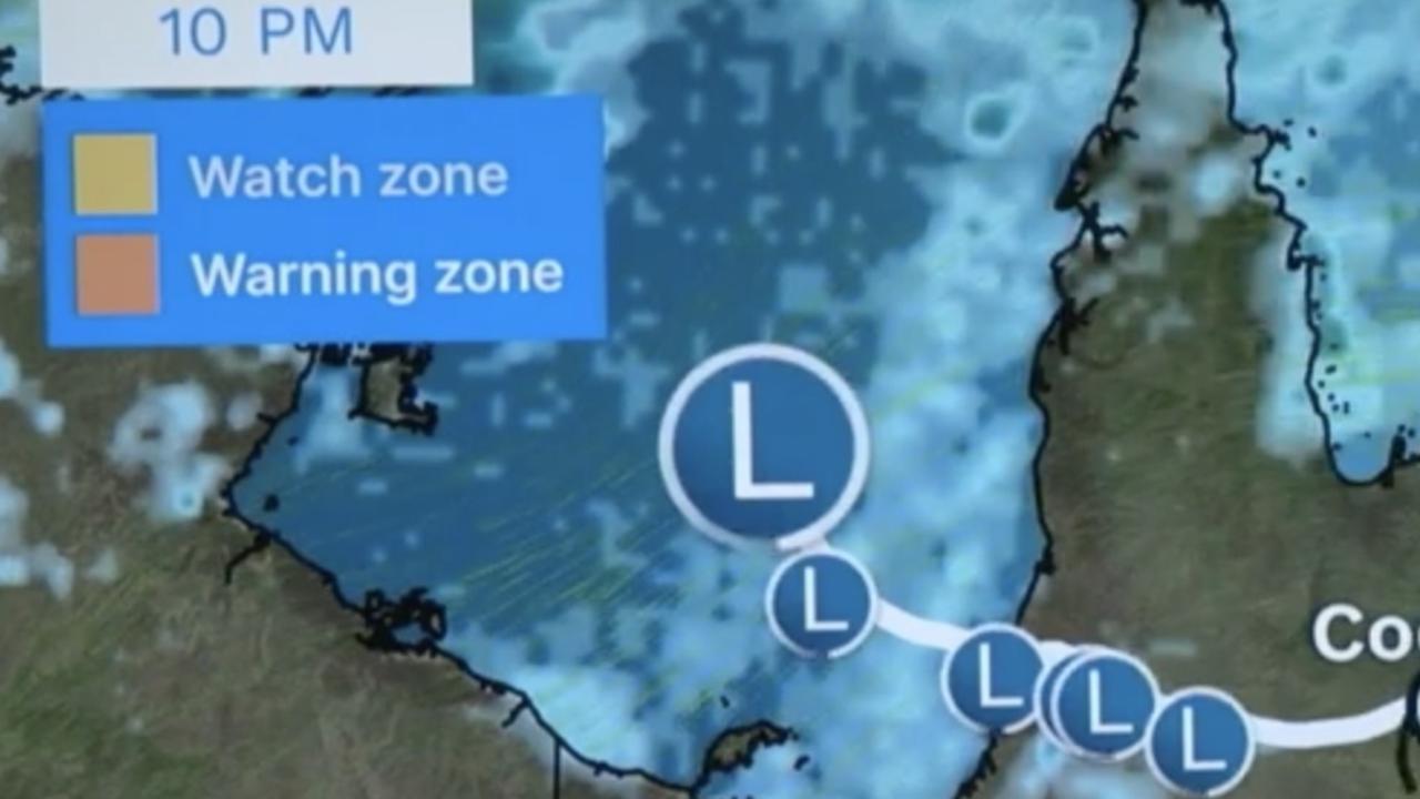
The Jasper system will likely be a tropical low as it moves away from the Cape York region of Far North Queensland and enters the warms waters of The Gulf of Carpentaria from Sunday through to Tuesday.
Mr Hines asked residents in the vast stretch of Australia to keep note of BOM forecasts to see how the system evolves over the next few days.
Meanwhile, Australians are fronting a weekend of weather extremes, as widespread heatwaves envelop much of the country while northern Queensland braces for ‘life-threatening’ flash flooding.
The Bureau of Meteorology expects temperatures to reach brutal highs of mid-40 degrees over the weekend in interior and mining regions of Western Australia, while Sydney will battle top temperatures of 37 degrees.
“Hot, dry, fire weather is the key story,” Mr Hines said on Saturday morning.
Heatwave warnings are in place for large swathes of WA, southeastern Queensland, coastal and northern NSW, and parts of the Northern Territory.
“Severe heatwaves can be dangerous for many people, especially older people, babies, children, pregnant and breastfeeding women, people with medical conditions and people who are unwell,” a statement from BOM warned.
“Seek a place to keep cool, such as your home, a library, community centre or shopping centre.”
Mr Hines also warns of “elevated fire danger” as high temperatures and dry, gusty winds sweep through Saturday.
Metro Sydney, The Central Coast and Northern NSW are at particular risk.
“Extreme Fire Danger is forecast for the following fire weather districts: Greater Hunter, Greater Sydney Region, Central Ranges, Northern Slopes and North Western,” BOM states.
In Western Australia, extreme fire danger is forecast for the Midwest Coast, Midwest Inland, Lesueur, Yarra Yarra, Swan Inland South and Capes districts.
In the Northern Territory, elevated fire danger is forecast for the Barkly North district.
But even as millions of Australians swelter through dry gusty winds and heat, it’s a different story for North Queenslanders as Jasper brings the threat of rain and life-threatening flash flood risks.
“Ex-Tropical Cyclone Jasper is currently located approximately 100 kilometres southeast of Kowanyama and is expected to remain slow-moving today,” BOM states.
“At this stage, Jasper is forecast to shift into The Gulf of Carpentaria during Sunday, although uncertainty exists on when exactly this will occur.”
There is a risk of flash flooding as heavy rainfall is expected to continue in the southern Peninsula, Gulf Country and far northern Northern Goldfields and Upper Flinders over the weekend.
“Six-hourly rainfall totals between 100 to 140mm are likely, with 24-hourly totals up to 200mm, particularly on the eastern side of the system centre,” BOM said.
“Locally intense rainfall which, may lead to dangerous and life-threatening flash flooding, is also possible during this period with six-hourly rainfall totals up to 200mm, particularly with thunderstorms.”
BOM expects the southern parts of the country to see milder temperatures, with temperatures maxing out in the low 20s for Melbourne, Hobart and Adelaide.
https://news.google.com/rss/articles/CBMigwFodHRwczovL3d3dy5uZXdzLmNvbS5hdS9uYXRpb25hbC9hdXN0cmFsaWEtdG8tc3dlbHRlci10aHJvdWdoLWhlYXR3YXZlcy1maXJlLWRhbmdlci1ib20vbmV3cy1zdG9yeS9hZWM0YmRjNzM3NTMzZDlkNGM4ZDEzMjJmZTc2N2VjONIBAA?oc=5
2023-12-16 03:23:10Z
CBMigwFodHRwczovL3d3dy5uZXdzLmNvbS5hdS9uYXRpb25hbC9hdXN0cmFsaWEtdG8tc3dlbHRlci10aHJvdWdoLWhlYXR3YXZlcy1maXJlLWRhbmdlci1ib20vbmV3cy1zdG9yeS9hZWM0YmRjNzM3NTMzZDlkNGM4ZDEzMjJmZTc2N2VjONIBAA
Bagikan Berita Ini


0 Response to "Sydney to swelter as BOM forecasts extreme weather | news.com.au — Australia's leading news site - news.com.au"
Post a Comment